Community Corner
Rain Expected Through Tuesday
Temperatures are around 5-10 degrees below normal as a result of the low pressure system.
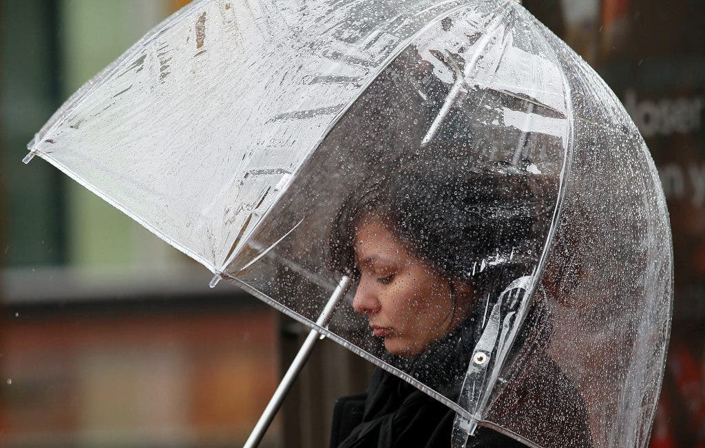
A late season storm Monday brought the Southland showers, strong winds and a wet commute.
Temperatures were around 5-10 degrees below normal as a result of the low pressure system, which was generating gusty south-to-southwest winds and could produce thunderstorms, according to the National Weather Service.
Mountain and desert regions were expected to be particularly hard hit by the wind, NWS forecasters said.
Find out what's happening in Encino-Tarzanawith free, real-time updates from Patch.
Rainfall amounts will vary because of the showery nature of the storm. Between a quarter-inch and a half-inch of rain may fall in Los Angeles and Ventura counties today, according to the NWS.
"Wet and slick roadways are expected for the morning and evening work commutes, with increased delays likely," said an NWS advisory.
Find out what's happening in Encino-Tarzanawith free, real-time updates from Patch.
Snow won't be a concern today, but light accumulation is possible above 6,000 feet.
Highs today were forecast to remain largely in the 60s: 46 on Mount Wilson; 61 in Saugus; 64 in Newport Beach, Pasadena, Palmdale, Lancaster and San Gabriel; 65 in Long Beach, Avalon, Burbank, Woodland Hills, downtown L.A. and at LAX; and 67 in Anaheim.
More showers and similar temperatures were expected Tuesday.
